Checked
Markham walks shortlist
Markham, Ontario, Canada
A researched shortlist for Markham, Ontario. Compare addresses, practical details and maps.
Key information
This is a growing shortlist. Each place has its own source and address. Read the article for comparisons and dated community opinions.
On this page
Place details and maps
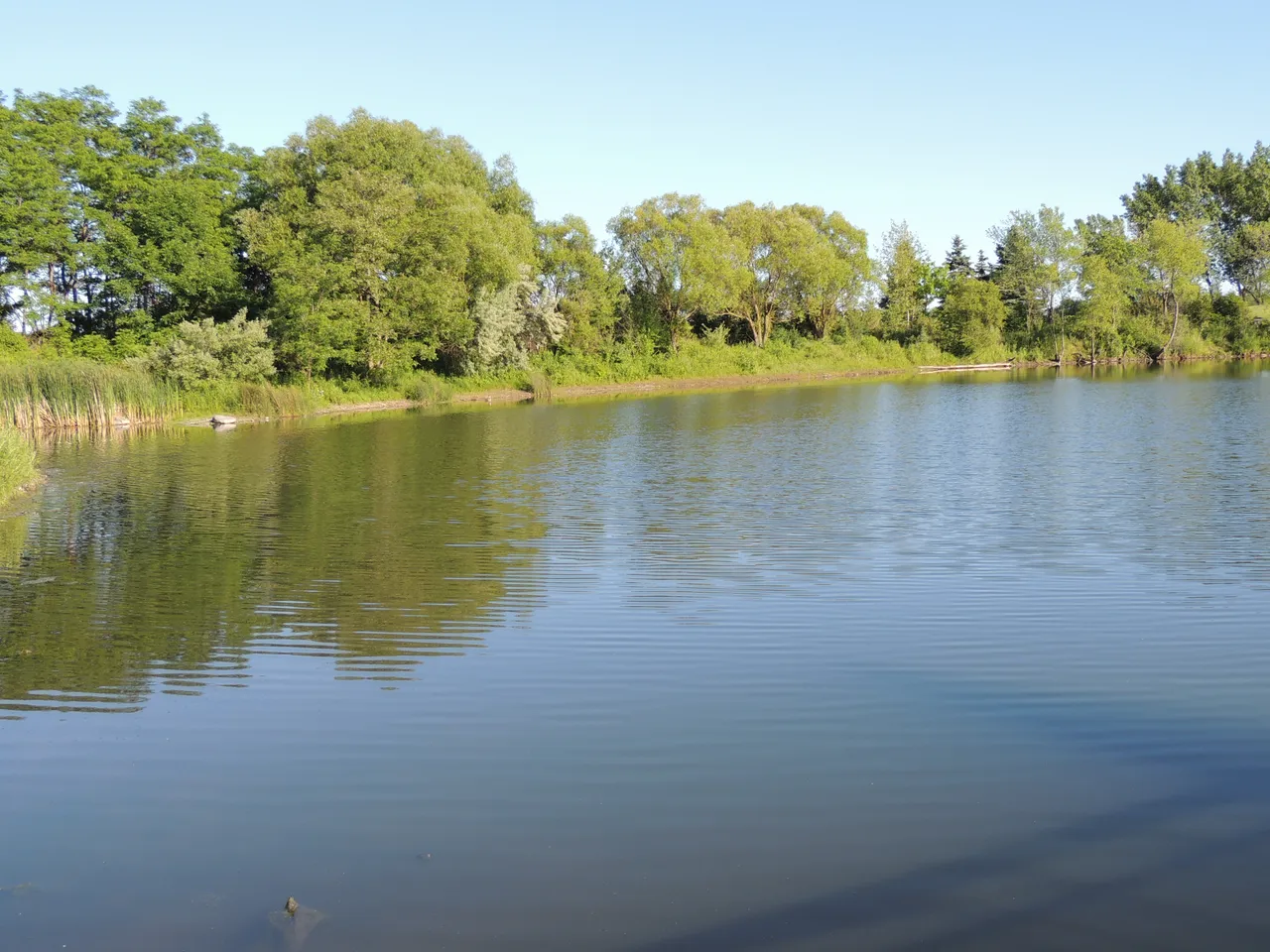
Toogood Pond
218 Carlton Road, Markham, Ontario, Canada
A pond-side stop in Unionville for a short autumn walk.

- Address
- The city lists Toogood Pond separately from Toogood Park at 58 Scriberras Road.
- Facilities
- The parks inventory lists washrooms, but does not verify late-season opening hours.
- Useful for
- A flexible-length outdoor break
- Before visiting
- Do not use a summer photo as proof of today’s leaves, water level or path conditions.
Sources: Markham: parks
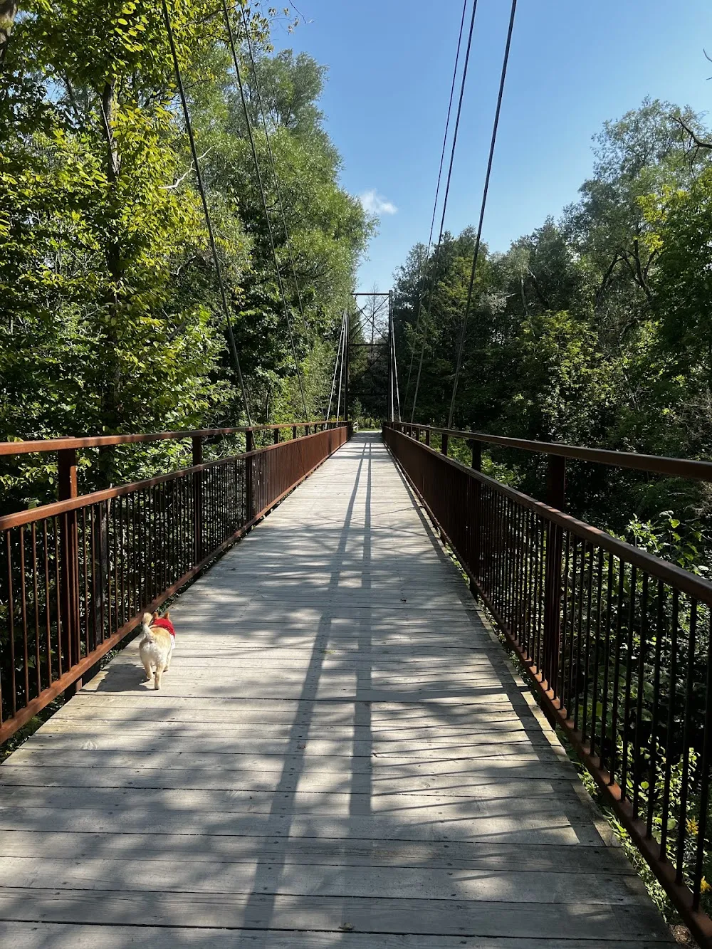
Milne Dam Conservation Park
8251 McCowan Road, Markham, Ontario, Canada
A large conservation park suggested in the local fall-foliage discussion.
- Hours
- The city site-map guide lists 9 a.m. to dusk.
- Facilities
- The map lists parking and washrooms. Their seasonal availability needs a same-day check.
- Useful for
- A daylight walk planned from the park map
- Before visiting
- Older picnic-booking and fee details do not confirm post-Thanksgiving vehicle access.
Sources: City of Markham: Milne Dam site map
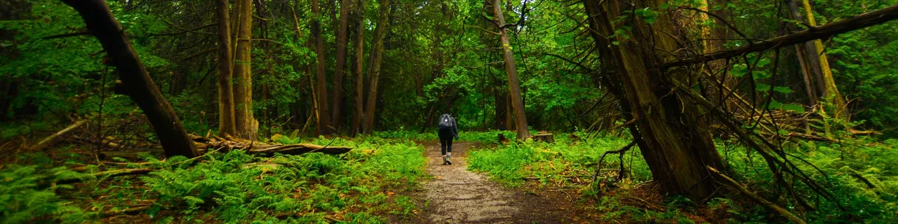
Bob Hunter Memorial Park
7277 14th Avenue, Markham, Ontario, Canada
Part of Rouge National Urban Park, with field and woodland routes.
- Closure
- A closure affects Reesor Way and Tanglewood. Follow the marked alternatives.
- Parking
- Limited and free. Lot gates lock at 9 p.m. and reopen between 7 and 8 a.m.
- Useful for
- A mapped nature walk with space to turn back
- Before visiting
- Portable toilets are seasonal. Do not plan a full loop through the closed section.
Sources: Markham: bob
Map searches identify a place and address. They do not verify entrances or step-free routes.
Plan your visit
Useful questions
Which trails have a closure?
Parks Canada says a closure affects Reesor Way and Tanglewood. Follow the marked alternatives on site.
Source: Markham: bob
How long is the published Reesor Way loop?
3.3 kilometres, before allowing for current closures or route changes.
Source: Markham: reesor
Are toilets at Bob Hunter Memorial Park seasonal?
Yes. Parks Canada lists seasonal toilet facilities, so do not rely on a year-round toilet stop.
Source: Markham: bob
Are all cycling approaches on protected lanes?
No. Parks Canada warns that approaches can use busy roads without dedicated cycling lanes.
Source: Markham: bob
Should I follow an old downloaded loop through a barrier?
No. The current closure and marked alternatives take priority over an old route.
Source: Markham: bob