Things to do · Markham, Ontario
Published
Milne Dam after Thanksgiving: make it a daylight walk
Use the official Milne Dam map and plan to leave by dusk. Do not assume summer picnic booking or vehicle-entry details continue after Thanksgiving.
Facts checked
In this story
Choose the small walk or the longer connection
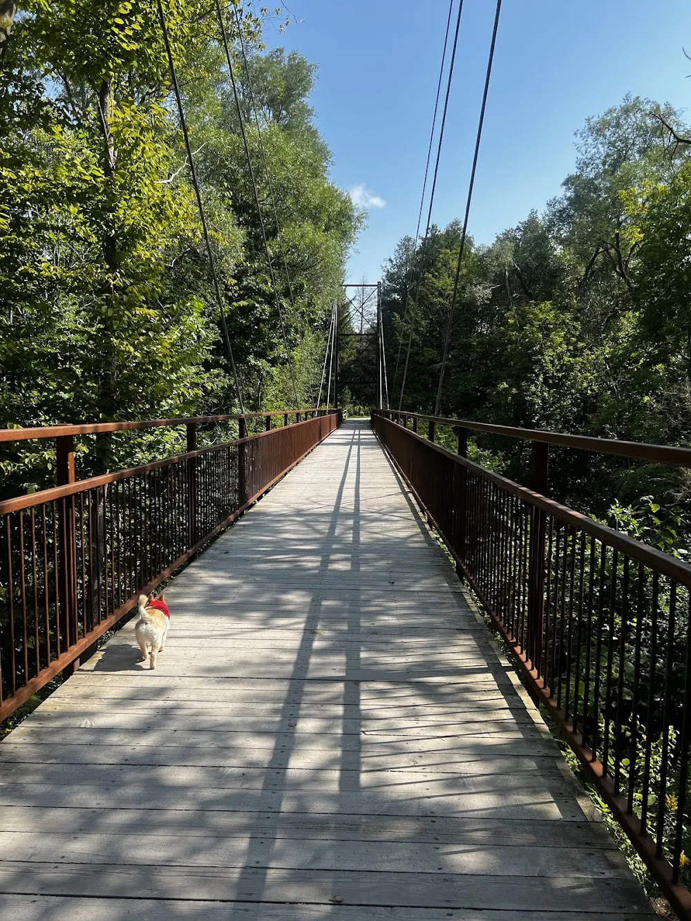
Milne can be a short outdoor pause or part of a much longer walk toward Unionville. Decide which outing the group wants before setting off. Late October also calls for a clear entrance and a return before dusk, with seasonal facilities treated carefully.
Several readers recommended Milne Dam in the October 2023 foliage discussion, including a cyclist who had visited recently. That supports it as a recurring local idea. It does not tell us the gate, fee or washroom status for a late-October 2026 visit.
Source: Markham Reddit: Fall Foliage, October 9, 2023
Source: City of Markham: Milne Dam site map
Source: Markham: parks
Work from the map, then confirm access
The city’s Milne Dam site-map guide gives 8251 McCowan Road and lists 9 a.m. to dusk. It also shows parking, accessible spaces and washrooms. Those details help you choose a starting point, but an inventory is not a live operating alert.
The city’s special-event material describes a picnic-booking season ending at Thanksgiving. That holiday has passed. If you need to drive into the park or depend on an open toilet, confirm the current arrangement with Markham before setting out.
Milne Dam Conservation Park
8251 McCowan Road, Markham, Ontario, Canada
Daylight walk. Post-Thanksgiving vehicle and facility access need confirmation.
Source: City of Markham: Milne Dam site map
Source: City of Markham: Milne Dam site map
Source: Markham: parks
Choose a walk rather than a picnic booking
Take only what you can carry comfortably and leave room to turn back if the path is wet. If vehicle entry or a washroom is essential, confirm the seasonal access before travelling. A pleasant leaf walk should not depend on a summer facility being open.
Source: City of Markham: Milne Dam site map
Source: Markham Reddit: Fall Foliage, October 9, 2023
Choose a short visit or a connected walk
A March 2024 hiking reply loved a longer route over Milne Dam and toward Unionville, describing the feeling of being away from the city. The February 2023 hill discussion also mentioned Milne, though some replies preferred more challenging terrain elsewhere. Those are reasons people return, not instructions to leave the official paths or follow a complete route from a brief comment.
For this outing, decide how much of the park you want before adding a distant lunch stop. A short walk around the reservoir area can be enough. A longer connection needs its own route, time and return plan. Do not let the promise of lunch elsewhere turn a tired group’s simple walk into an obligation.
The official map lists 9 a.m. to dusk access, picnic areas and parking. It is useful for locating amenities, but it is not a same-day gate report. After Thanksgiving, current vehicle access, any fee and washroom availability still need confirmation if the visit depends on them.
Source: Markham hiking recommendations, March 2024
Source: Hiking and jogging hills, February 2023
Source: City of Markham: Milne Dam site map
Source: Markham: parks
Use the map for what it can actually tell you
The site map shows 380 parking spaces, including six accessible spaces, and nine picnic sites. Those figures describe the layout. They do not reserve a space for you or establish that a booked summer picnic service continues unchanged in late October. Treat a small picnic as part of your walking plan only where current access and signs permit it.
There is also an address difference worth noticing. The park inventory lists Milne Dam Conservation at 8135 McCowan Road, while the visitor map and established destination details use the entrance at 8251 McCowan Road. For meeting and navigation, use the entrance map linked with this place record rather than sending only the park’s name.
Dogs must remain leashed under Markham’s park rules outside designated off-leash areas. Milne is not on that list. Keep room for other walkers and turn back with daylight to spare. A late-afternoon photograph can make a walk look irresistible, but dusk is still the end of the listed access window. Give the return as much attention as the view.
Source: City of Markham: Milne Dam site map
Source: Markham: parks
More place details
Source: Compare these places in Resources
Source: Markham Reddit: Fall Foliage, October 9, 2023
Questions people ask
Where is Milne Dam Conservation Park?
8251 McCowan Road in Markham.
Source: City of Markham: Milne Dam site map
What hours does the official map list?
9 a.m. to dusk. Check current notices before travelling.
Source: City of Markham: Milne Dam site map
Does the map show parking?
Yes, including accessible parking spaces.
Source: City of Markham: Milne Dam site map
Does an amenities map prove washrooms are open today?
No. It records facilities, not live seasonal operation.
Source: City of Markham: Milne Dam site map
How many accessible parking spaces does the Milne map show?
The official site map marks six accessible parking spaces.
Source: City of Markham: Milne Dam site map
Can I bring an off-leash dog to Milne Dam?
Markham requires leashes in parks outside designated off-leash areas. Milne is not on that list.
Source: Markham: parks
How many parking spaces are shown on the Milne map?
The official site map lists 380 parking spaces. This is capacity, not a promise of a free space on arrival.
Source: City of Markham: Milne Dam site map
How many picnic sites appear on the Milne map?
Nine picnic sites are shown. A map does not reserve one for your group.
Source: City of Markham: Milne Dam site map
What is the site occupancy listed on the Milne map?
The official map gives an occupancy of 500 people.
Source: City of Markham: Milne Dam site map
When should I turn back?
Leave enough time to reach your exit before dusk, and earlier if the path or weather becomes difficult.
Something changed? Tell us about a correction.